 Tweet
Tweet
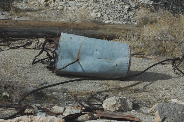
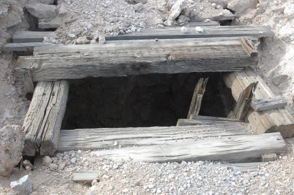
If you liked the Bullion, try the Accident Mine nearby; just continue up the canyon westward past the turnoff to the Bullion Mine, and you'll see the parking area for the Accident Mine on your left (to the South). It's nearly a mile's hike up to it, but it's well worth it. Be sure to have lots of available file space on your camera's flash card!
-
-
Re: Bullion Mine, Southern Nevada
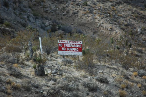
The Monte Cristo & Porter mines are fenced/gated and posted "No Trespassing." I explored both of these shortly before the BLM placed the new "No Trespassing" signs, and there wasn't much to see. I hiked up to the Porter mine, and it wasn't worth the hike. The area is nice, especially in late springtime with all the blooms and greens...but the mines up this canyon aren't worth the hike IMHO. The "Unknown Mine 1" near the Monte Cristo (looks like an airplane outline on the Google Map) is now blocked by welded steel angles across the entrance, and the vertical shaft near it has been converted to a bat entrance/exit. Nothing much to see inside before it was blocked. BTW, the vertical shaft just to the east of the blocked entrance was just filled in by the BLM in either late December 2009 or early January 2010...I was up there in late fall 2009 and it was there, then when I returned in mid-January 2010 it was filled in! Must have been a front-end loader, I didn't see any dozer tracks....Originally posted by Joanne
The Accident Mine is well worth exploring, along with thorough explorations of the Bullion (check PMs). The Valentine Mine has been stripped, it looks like most of the equipment was removed to one of the nearby mines....the Valentine consists of a primary incline shaft heading southwest, and several adits branching off in different directions. I didn't find anything of much interest in it, except for the remains of an aerial tramway along the burro path up to the mine. The "Unknown Mine 2" just west of the Valentine (above it on your Google map) is the Anchor Mine, and is fenced/gated/posted "No Trespassing."
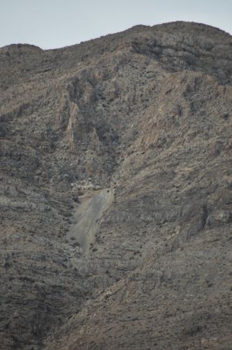
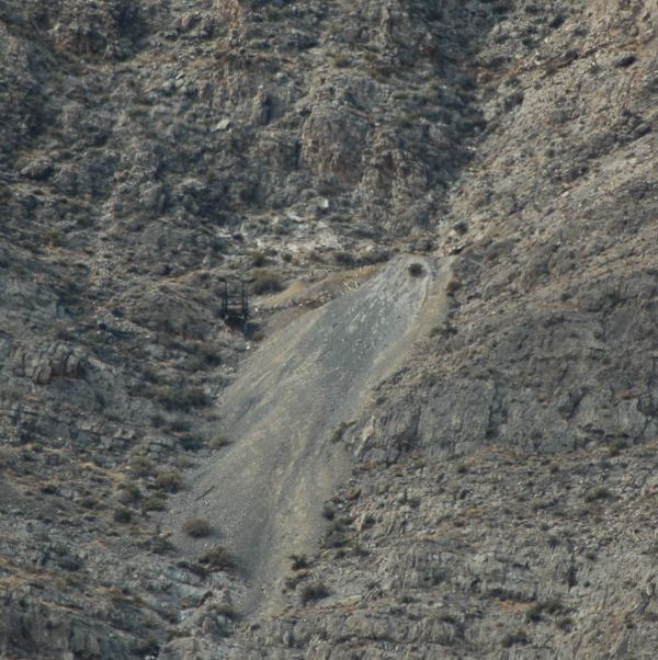
If you continue west up the canyon, past the Monte Cristo turnoff, you will come to the turnoff for the Star Mine (not shown on your map above). It involves a little bit of a hike, but in a canyon just to the south of the loading area for the Star Mine is the main mining area; it used to feature a raised wooden trestle that curved around the base of the mountain for several hundred yards, and a fabulous old wooden ore hopper bin tucked into a tight canyon. It's well worth the visit, and it takes probably half a day (or a full winter's day, since they're shorter). Sometimes this area gets a dusting of snow, and I was able to catch some photos of it this past winter.
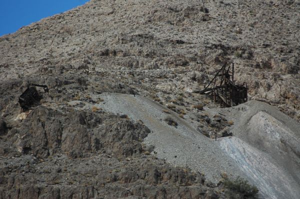
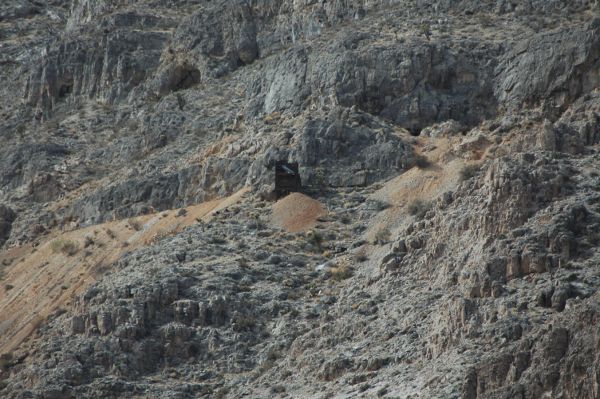
This is the closed-off mine I mentioned above near the Monte Cristo:Originally posted by Joanne
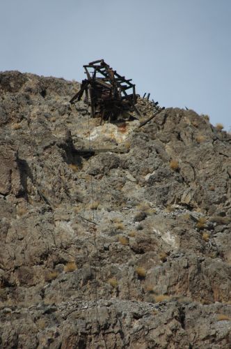
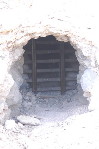
This vertical shaft (just above the gated entrance shown above) has been converted to a bat entrance/exit:Originally posted by Joanne
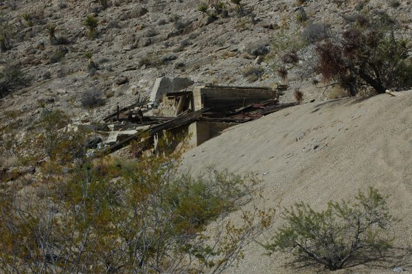
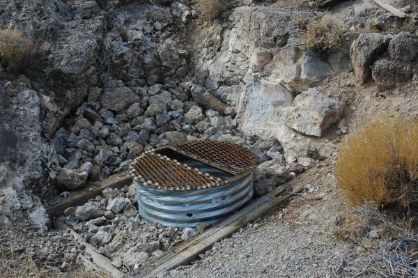
This is the vertical shaft that was recently filled in via front-end loader:Originally posted by Joanne
The mines around Nipton are slowly being closed off for vehicular access, and the dry lake bed by Primm is off-limits to motorized vehicles.Originally posted by JoanneComment
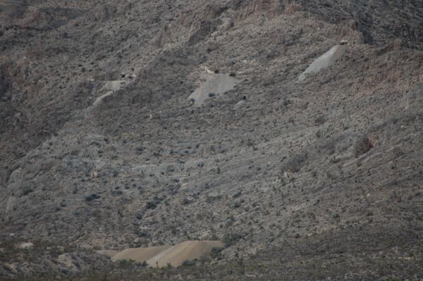
 I did get to make some good use of my new 12x50 Nikon binoculars though. I think they are going to be a good tool in helping me to locate and identify mine remnants.
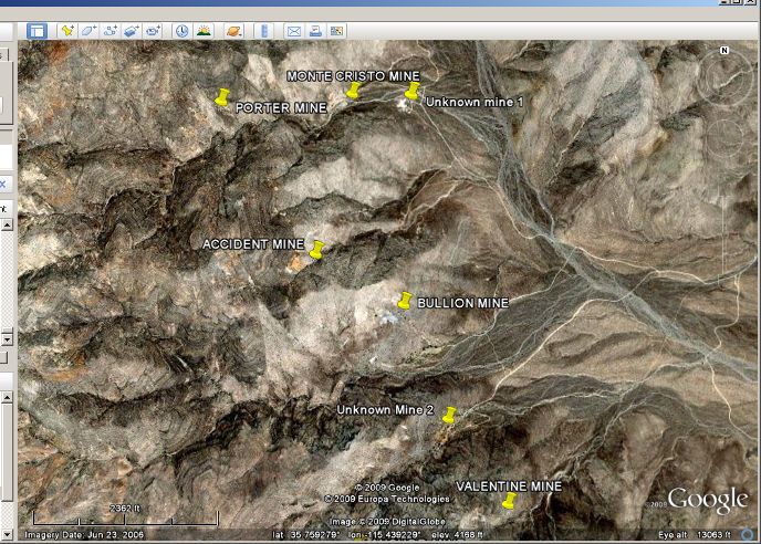
Comment